Two long cycling routes meet at Helena, Arkansas. You may know one of them by name. The other is less known, and Helena is where it starts.
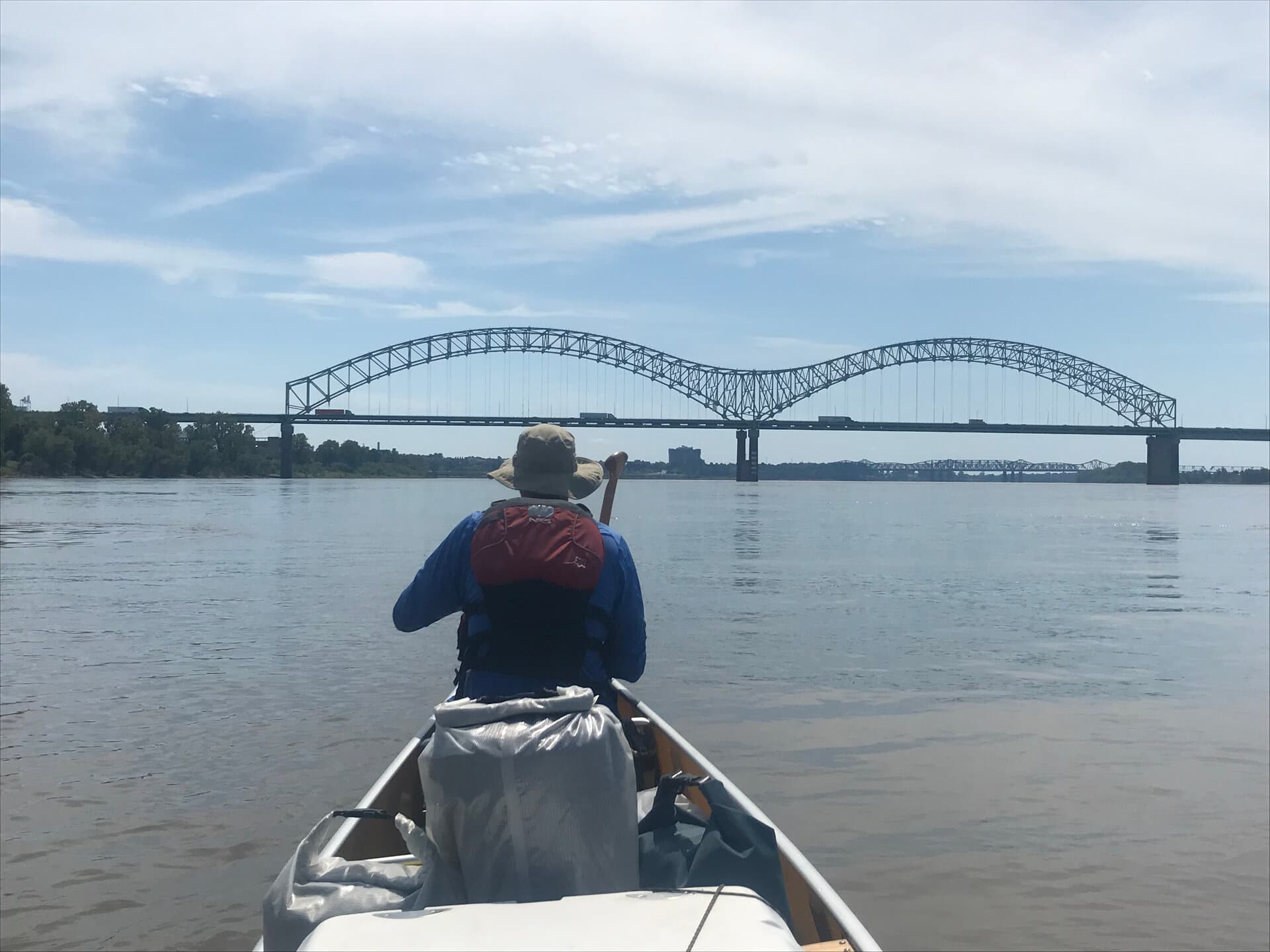
The Great River Road runs from the headwaters of the Mississippi in Minnesota to the Gulf of Mexico. It is a National Scenic Byway that follows the river the length of the country. Helena sits on it, where the river bends east and Highway 49 crosses into Mississippi on the Helena Bridge. For cyclists on the river route, Helena is the natural stop. It is the last downtown on the Mississippi River for 300 miles between Memphis and Vicksburg. It is the only one on a high river bluff rather than the floodplain below.
The other route is the Crowley's Ridge Gravel Trail. It runs 249 miles from the highlands of northeast Arkansas down to Helena-West Helena. The trail ends there, or begins there, depending on your direction. Helena is Mile Zero. The Mile Zero Delta Festival, held each April, takes its name from this. The annual Mile Zero Ultra is a self-supported 300-mile and 600-mile gravel challenge. It starts at the Spirit of the American Doughboy monument in town.
If you ride seriously, a 249-mile gravel trail through seven state parks needs no explanation. If you want an easy ride along the Mississippi on a flat road with almost no traffic, Helena works for that too. The routes don't overlap. The terrain is completely different. Both start here.
The Great River Road: Helena's Stretch
The Great River Road enters Helena from the north on Highway 20, which connects to US-49B into downtown. From downtown, the natural cycling route follows the levee road south. It is raised above the floodplain, with long views east and west across the flat Delta interior.
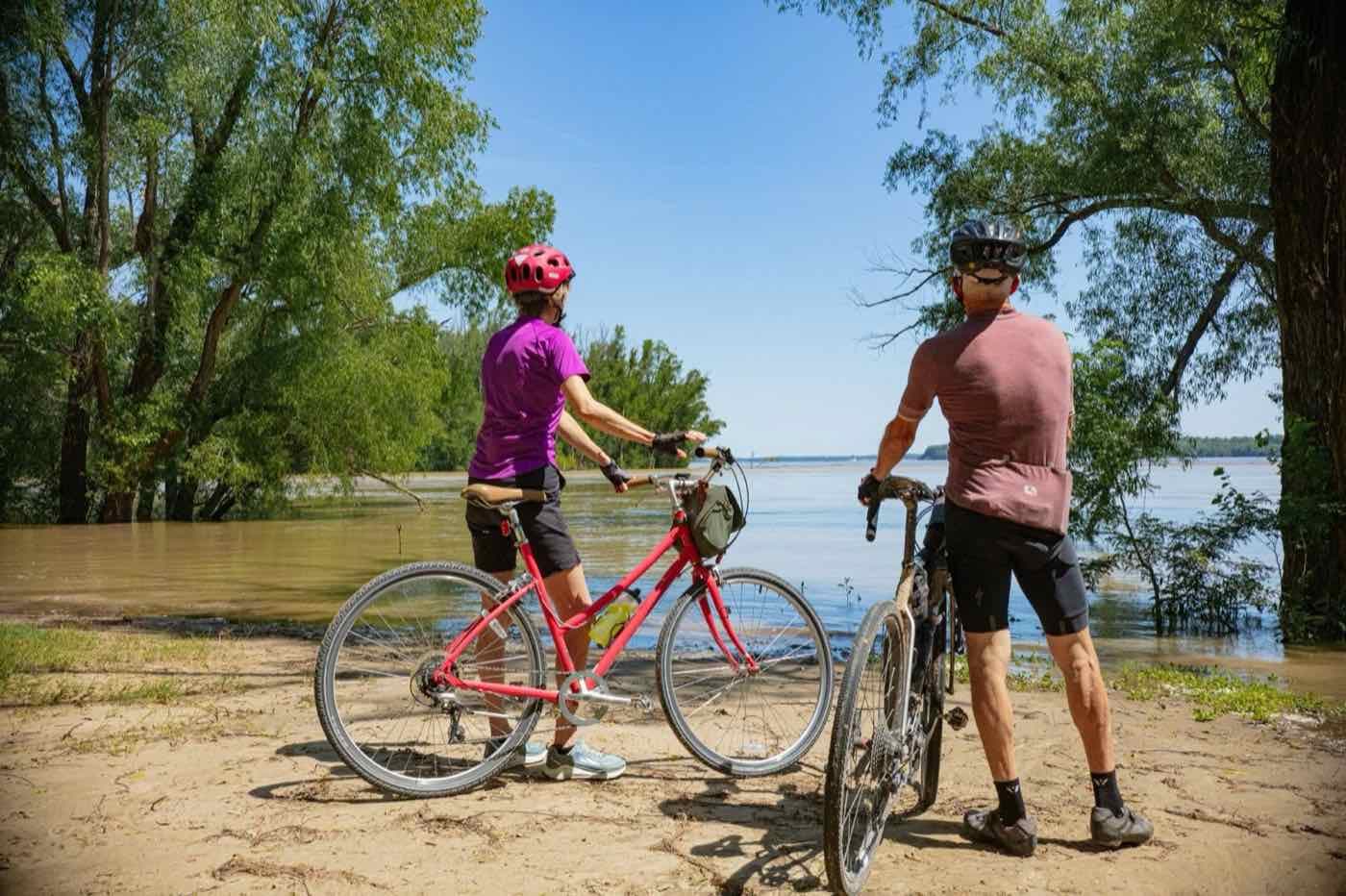
The flat land is part of the appeal. The Delta has bottomland cotton fields, isolated farmsteads and empty two-lane roads. The views are long. There is little traffic on the levee roads. Cyclists who have ridden the full Mississippi River route describe this stretch as one of the quietest sections of the trip.
Helena sits on a bluff, which is unusual. Most towns on the lower Mississippi are at river level and have flooded many times. Because Helena is higher, the views from the levee are wider. You notice this on a bike. The approach from the north drops into the Delta interior, and the land rises again as you enter town.
Route note: Saint Francis National Forest segment. A gravel section runs through the forest between Marianna and Helena. A paved bypass exists for cyclists who prefer road conditions. Great River Road maps show both.
For cyclists continuing east into Mississippi, the Helena Bridge (US-49) is the only Mississippi River crossing for cyclists on this stretch. It is about one mile across and connects to Lula, MS and the Mississippi side of the Great River Road. The bridge is under a rehabilitation project (2024 to 2026), estimated at $56.6 million. A $43.9 million federal Bridge Investment Program grant was announced in November 2024. The bridge remains open to traffic. Check its status before you route across if crossing conditions concern you.
Crowley's Ridge Gravel Trail and the Mile Zero Ultra
Crowley's Ridge is a geological anomaly. It is a narrow line of raised loess hills that runs 200 miles through the otherwise flat Mississippi Alluvial Plain. The Crowley's Ridge Gravel Trail follows the ridge north from Helena to Piggott, Arkansas. It covers 249 miles and 10,000 feet of climbing, through 18 communities and 7 state parks.
This is different riding from the Great River Road. The levee roads are flat, open and quiet. Crowley's Ridge is mixed terrain through forested hills, with real climbs and long gravel sections. The two routes draw different riders. Helena can serve both in the same trip.
The trail is organized by studioDRIFT, a Helena-West Helena nonprofit that manages the route and the annual festival. In January 2026, Helena-West Helena was selected for the first TrailNation accelerator cohort. Grants were secured to connect downtown Helena to the Delta Heritage Trail and the Crowley's Ridge trailhead by dedicated active transportation routes. That project is underway.
The Mile Zero Ultra is the endurance version of this route. It is a self-supported 300-mile or 600-mile gravel challenge that starts at the Spirit of the American Doughboy monument in Helena-West Helena. It draws gravel cyclists from around the country. The Edwardian Inn is within walking distance of the starting monument.
Rides Out of Helena
Helena Adventure Company no longer rents bikes to the public. It now runs guided e-bike tours in Mississippi River State Park with Arkansas State Parks interpreters, on their bikes. If you arrive without your own bike, a tour is the way to ride.
Their suggested routes range from a one-mile loop at the river park to a 37-mile gravel route from Mississippi River State Park to Delta Heritage Trail State Park. These four are worth knowing.
Harbor View Trail. A one-mile loop in Helena River Park. An easy introduction to the waterfront. It is a good choice if you arrive tired and want to look around before a longer ride.
The Big River Loop. Two miles, connecting downtown to the river park. It follows the walking and cycling path along the bluff.
The Low Road. 22 miles of gravel along the Mississippi River. It is flat and remote, with river views the whole way. Expect long distances, little traffic, and the river close by.
Helena Ridge Ride. 37 miles of gravel from Mississippi River State Park to Delta Heritage Trail State Park. It is the longest local route. Plan your time and water.
Delta Heritage Trail
The Delta Heritage Trail is a rail-to-trail conversion through the Arkansas Delta. It runs 84.5 miles, and 69.8 miles were complete as of 2026. The surface is crushed limestone, the grade is about one percent, and the trail is ADA-compliant. There are ten trailheads. The visitor center at Barton has a gift shop, maps, restrooms, picnic sites and bike rentals.
The trail has a northern and a southern corridor. Both are complete. The northern corridor runs from Lexa to Snow Lake (41.7 miles). The southern corridor runs from Yancopin to Arkansas City (28.2 miles, including 15 miles on the Mississippi River Mainline Levee).
Closure notice (April 2026): About 2 miles of trail between Lexa and Barton have been closed for resurfacing since January 12, 2026. The closure was in effect in early April 2026, with no announced reopening date. If you plan to ride the northern corridor, call the Barton visitor center for the trail's status before you go. The southern corridor and the Barton facilities are not affected.
Using Helena as a Base
Many cycling destinations mean camping or staying far from the route. Helena is different. The Edwardian Inn is a half mile from the levee road and two blocks from the historic downtown. It is close to the Cherry Street corridor, the Delta Cultural Center, and the start of the Crowley's Ridge Gravel Trail.
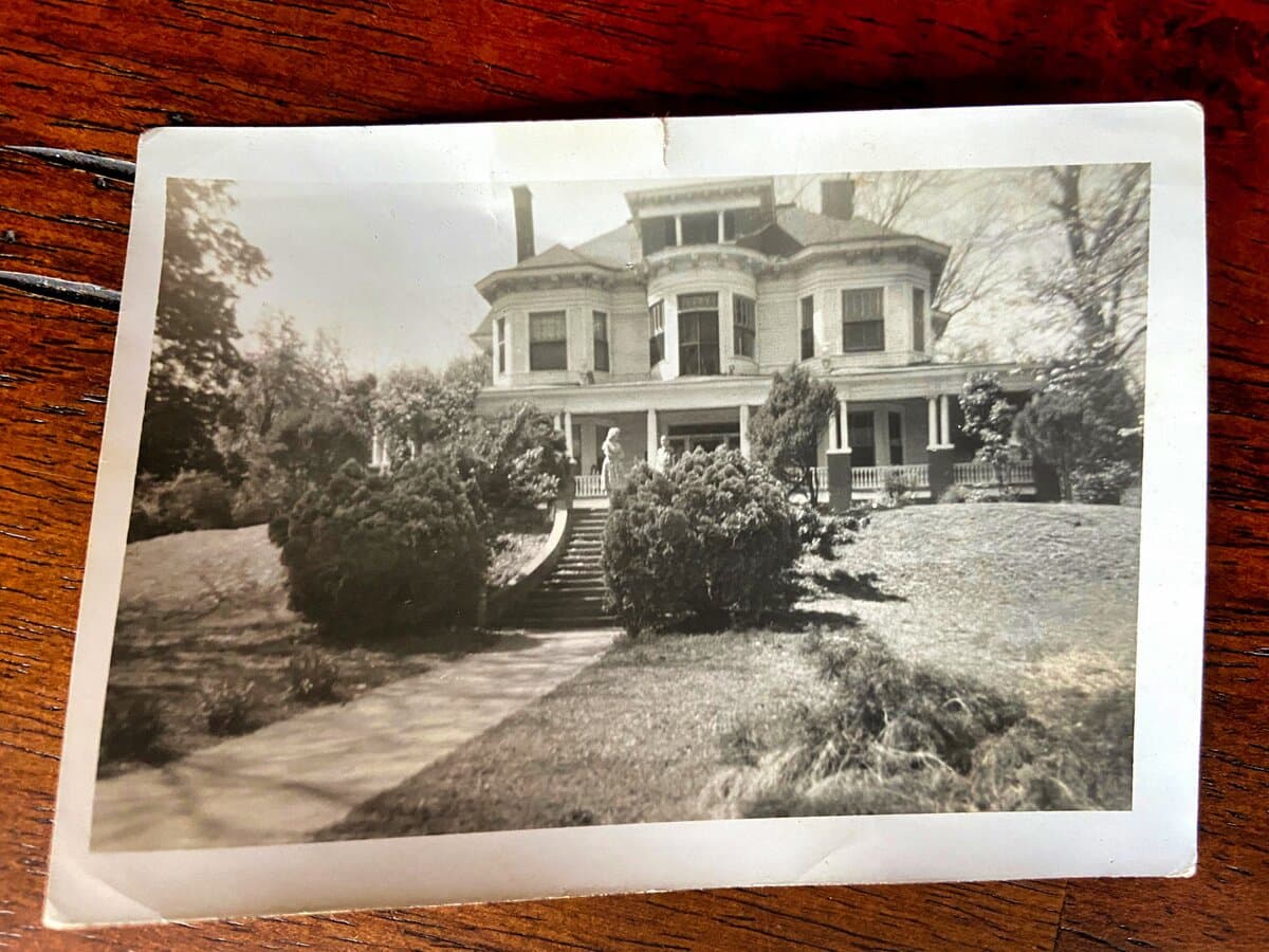
The inn is a working B&B in the William A. Short House, a 1904 Colonial Revival house. It has been open for 41 years. It is not a cycling lodge. It is a historic inn in the middle of a good cycling area. Breakfast is included. Parking is simple if you arrive with a vehicle and a bike rack.
A note on timing: spring and fall are the better seasons for riding in the Delta. April has the Mile Zero Delta Festival. October has the King Biscuit Blues Festival, which draws around ten thousand people to Cherry Street the weekend before Columbus Day. Either is a good reason to plan a trip. Summer is hot and humid, so start early in the morning.